TakePart | September 10, 2014
 Lasers, 3-D imagery and outer-space surveillance sounds like cutting room floor fodder of a scrapped Austin Powers film, but it’s all part of NASA’s latest effort to map the Earth’s forests and gain a better understanding on climate change.
Dubbed Global Ecosystem Dynamics Investigation lidar—the nod to Star Wars may be entirely coincidental—the laser instrument will be designed to hitch a ride aboard the International Space Station. Once aboard, it will pump out large-scale 3-D imagery of forests. Lidar—the type of laser mapping tool that Google uses to guide its self-driving cars—will be deployed to measure the height and configuration of a forest’s canopy and undergrowth.
NASA and the University of Maryland hope the technology will give scientists a better picture of just how much carbon is stored in the Earth’s forests and the impact of logging on climate change.
“There’s an open question of what is the net balance between the amount of deforestation taking place and subsequent regrowth,” said Ralph Dubayah, a University of Maryland professor who is leading the GEDI project. “If we don’t know what that is, we don’t know what future atmospheric levels of CO2 are and it becomes hard to run climate models.”
With a 3-D picture—or fingerprint—of a forest, experts would be able to calculate the weight of its trees and figure out how much carbon they contain. About half of a tree’s biomass is carbon, according to Dubayah.
Armed with the new data, policy makers should be able to quantify the potential amount of carbon that could be released into the atmosphere by deforestation or forest fires. They then could determine what it would take to offset that release, such as by planting more trees.
Deploying lidar from space will be an improvement over the way forests are currently monitored.
Airplanes currently are used to shoot lidar lasers down into forests, thereby mapping the height and configuration of a forest’s canopy and undergrowth.
But the plane’s limited range restricts the amount of data that can be collected.
“From space, you can get access to essentially all the world’s forests,” Dubayah said. “Aircraft is expensive and if you’re in the middle of a rainforest, there are a lot of logistics involved in doing that. If you use lasers in space, you acquire much more data much more rapidly at cheaper cost.”
The GEDI system is still in development at NASA’s Goddard Space Flight Center and is slated for deployment in mid-2018. Dubayah hopes that the first batch of data will be available by 2019, with the program running continuously from the International Space Station.
“If we’re going to make any kind of policy changes in the U.S., one way to do that is by planting trees and running climate and land use models to look at potential scenarios,” Dubayah said. “It’s hard to run models forward in time that evaluate alternative policy scenarios if we don’t know what we’re starting with.”
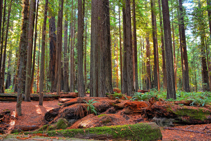
Photo of Northern California redwood forest by Kirt Edblom via flickr/Creative Commons