Are you ready for a 35-year drought?

TakePart | August 29, 2014

drought_utah
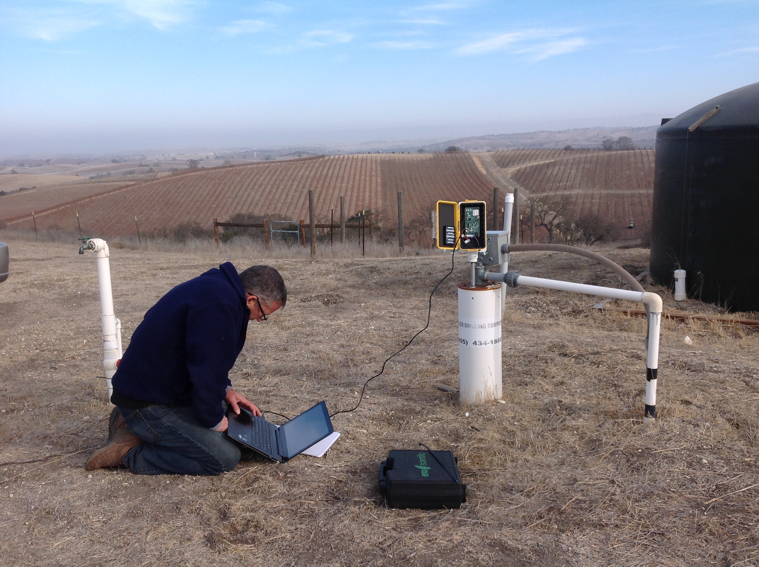
With the American West losing an estimated 63 trillion gallons of groundwater over the past 18 months, it’s hard to imagine that the drought could get any worse.

But it just might.

A new study estimates that the possibility of a decade-long drought hitting the Southwest sometime this century could be as high as 90 percent. And there’s as much as a 50 percent chance of a mega-drought that lasts for 35 years or more, according to Toby Ault, a professor of earth and atmospheric sciences at Cornell University.

“This is only the beginning,” said Ault, whose research will be published next month in the Journal of Climate. “The further south you go, the drier the average conditions really are, and the risk is greater.”

It’s the first research that quantifies the risk of drought from reduced precipitation and drier conditions caused by climate change. Scientists conducted their analysis by incorporating historical data of past mega-droughts in the Southwest—such as the series of long-running droughts that struck the region between 900 and 1400—into computer models of contemporary climate observations.

The drought forecast in the Southwest—which the researchers define as Central to Southern California, Nevada, Southern Arizona, Southern Utah, New Mexico, Southern Colorado, and Western Texas—compares starkly with predictions for the northern states. Ault’s computer models indicate that Washington, Montana, and Idaho, for instance, face a decreased risk for drought over this century.

“Dry regions get drier, wet regions get wetter, and places on the edge are uncertain,” Ault said.

Making global predictions about drought is harder as less data is available for many regions outside the United States. “But even so, we saw that the Southwestern U.S. looks like it’s exposed to risks that are comparable to other parts of the world, such as parts of Africa, Northern Mexico, and parts of Brazil,” said Ault.

Researchers at Scripps Institute of Oceanography recently found that the earth’s surface in the West has risen 0.16 inches over the last year and a half as a result of losing 63 trillion gallons of water. Another report estimates that water levels in California’s three largest reservoirs have fallen 70 percent.

So what would a drought prolonged for 35 years or longer look like?

“Take the current drought and double it,” Ault said. “In Arizona, there’s been a drought that’s gone on and off for the last 10 years. Doubling that, it looks very challenging.”

Next up for Ault is to calculate how much snowpack and groundwater would be lost in a mega-drought. He also plans to determine how much water the Colorado River would lose during a decades-long drought.

Though his predictions focus on the risk of drought brought on by drier conditions from climate change, Ault says he’s still not sure if the West’s current drought is a result of global warming.

But regardless of the relationship, he emphasizes that people should pay attention to how drought is affecting the region.

“It’s a glimpse and preview of what we expect to happen from climate change—and a picture and window into the future,” he said.

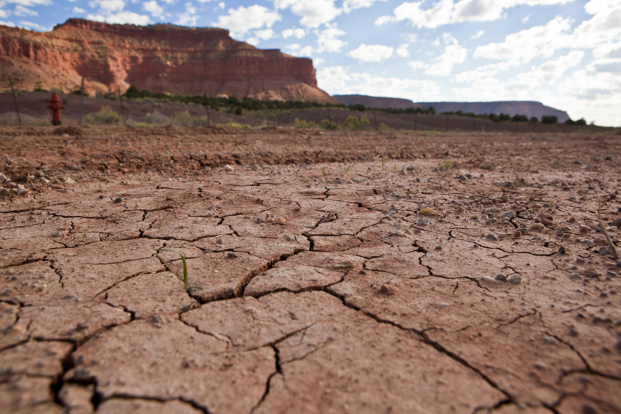
Photo of drought in Utah by Anthony Quintano via flickr/Creative Commons

Drought dowsing goes hi-tech

California Magazine | Aug. 11, 2014

Wellntel pilot

Wellntel is conducting its first pilot with farmers and residents in the drought-stricken town of Templeton, Calif. Photo credit: Wellntel

This year, groundwater is serving as California’s pinch hitter, supplying about 60 percent of the state’s needs during this historic drought. But until now, it’s been an impossible resource to manage.

We don’t have enough data to know just how much groundwater is hanging out below any given house or farm. Because it’s unregulated by the state, anyone can pump as much water as they want—a point of contention between those who think people own the water underneath their property and those who believe groundwater is a communal resource. To make matters worse, groundwater hasn’t been replenished during these dry times, and there’s been a recent rush to drill more wells in the San Joaquin Valley.

But while we can’t make it rain on California, nor force the legislature to pass two bills currently being considered that would mandate local governments to regulate their groundwater, new technology is allowing us to better “see”  the water beneath the ground and could help us make smarter decisions about how best to use it.

A recently developed sensor-based device that measures groundwater is helping UC Berkeley researchers understand just how much of this resource we’ll have in the coming decades. Developed by Wisconsin-based startup Wellntel, the product attaches to the top of a well and uses sonar to measure water levels and a well’s pumping rate every 30 minutes, then sends the data to the computing cloud, allowing researchers to make use of it.

In the last few months, geography department professor Norman Miller and recent Ph.D. graduate Raj Singh have started incorporating data from the devices into the computer-based groundwater model they’ve been developing for the last four years. “One of the big problems I see is the availability of water due to land use stressors under climate change,” says Miller, a hydrometeorologist. “So one of the outstanding questions is how much (groundwater) is left on planet, who’s using it, and when. But there’s a lot of water that we can’t see.”

The current problem, the researchers say, is that while satellite data can show how much groundwater there is on a regional level—in the Central Valley, for instance—it can’t capture how much there is under a city, or at the farm level. There just isn’t enough data from U.S. wells to get a deep understanding of how groundwater flows. The predominant techniques used to measure well water levels—measuring tapes or pressure sensors—are labor-intensive and costly. The U.S. Geological Survey monitors less than 10 percent of its 20,000 wells, California’s Department of Water Resources monitors a few hundred.

But by integrating the Wellntel data into their current model, the Cal researchers believe they can provide a deeper understanding of how much groundwater we have now, and how much we’ll have in the future as climate change takes its toll.

“It’s like moving from a black-and-white to an HD television,” Singh says of the difference in resolution—which with the new data has advanced from gathering data at the 10-20 kilometer level down to a 100-meter level. At that resolution, he says it’s possible to discern the land’s topography and groundwater level differences from houses a few blocks apart.

With this knowledge, farmers and landowners could be better equipped to allocate their consumption, plan their growing seasons and save for dry times—not unlike the way we manage our bank accounts.

Wellntel is partnering with Miller and Singh on a pilot research project in Templeton, a town just outside Paso Robles on California’s Central Coast. The area has sprouted a number of vineyards and hobby farms in recent decades after its almond groves turned fallow.

“There’s been a huge increase in vineyard development in Paso Robles, and many residents saw dramatic declines in their water levels and had to dig new wells because the water table dropped,” says Wellntel co-founder Nick Hayes. “And some of the new wells have had to go so deep that they have to tap into mineral and sulfur-smelling water—it’s pretty severe and it feels dire to them, and their property values are tied to water in the area.” Some even have had to truck in their water, Hayes adds.

Every two weeks, Miller and Singh receive data (stripped of any identifiers) from 12 Wellntel sensors installed every half-mile throughout the 9-square mile pilot area.

By assimilating this data into their current groundwater model, the researchers say they’ll eventually be able to predict how groundwater levels will change from season to season over the next few years, as well as over the coming decades based on a range of greenhouse gas emissions scenarios up to 2050.

Miller says it’s not clear right now just when they’ll be able to make those predictions. But the Cal researchers have met several times and shared their model with Frances Chung, the chief of the modeling branch at the state’s Department of Water Resources, and they say the state is interested in making use of the new technology. Such an ability to collect information about groundwater levels could boost the state’s pro-regulation movement.

“If you limit water it has to be based on what you know, and right now it’s extremely difficult to control and monitor,” Singh says. “But as we get more information and it becomes more scientific—and more objective based on facts—it will be easier to regulate.”

View the original story here.